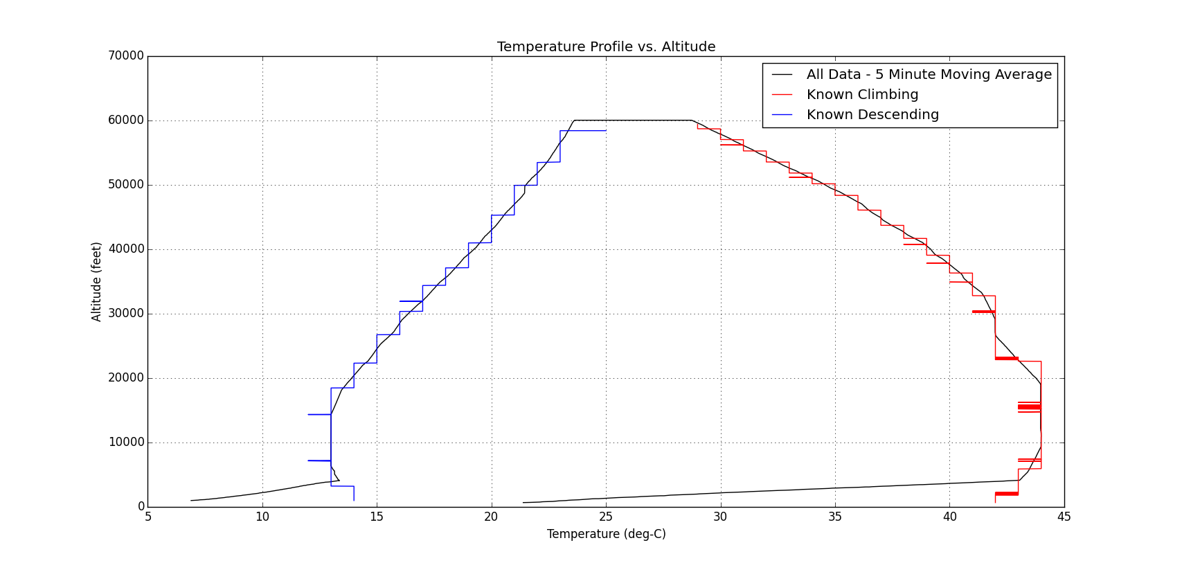
Our fourth Dogeship launch went up over Virginia this past weekend, racking up a second successful flight! The Doge appears to have attained an altitude of roughly 65,000 feet with a flight time of one and a half hours. The winds were light on launch day, so the total distance traveled was roughly 26 miles through the Shenandoah Valley. A more thorough post of the flight will come in the next few weeks after we've gotten a chance to analyze the data.

For this launch we attempted to fly two video cameras - one knockoff Go-Pro which was cheap enough to be considered expendable, and our trusty Canon digital camera which was space qualified on EFT3. Unfortunately the videos all terminated after around 25 minutes of flight. The Canon, mounted on the outside appears to have frozen. The Faux-Pro was inside the Doge and overheated due to the heat of the hand warmers. One major observation was the recurrence of a high frequency rolling motion of the payload combined with a downright violent spinning of the entire system during the climb. Once we post the video this will become immediately apparent - it'll make you sick!

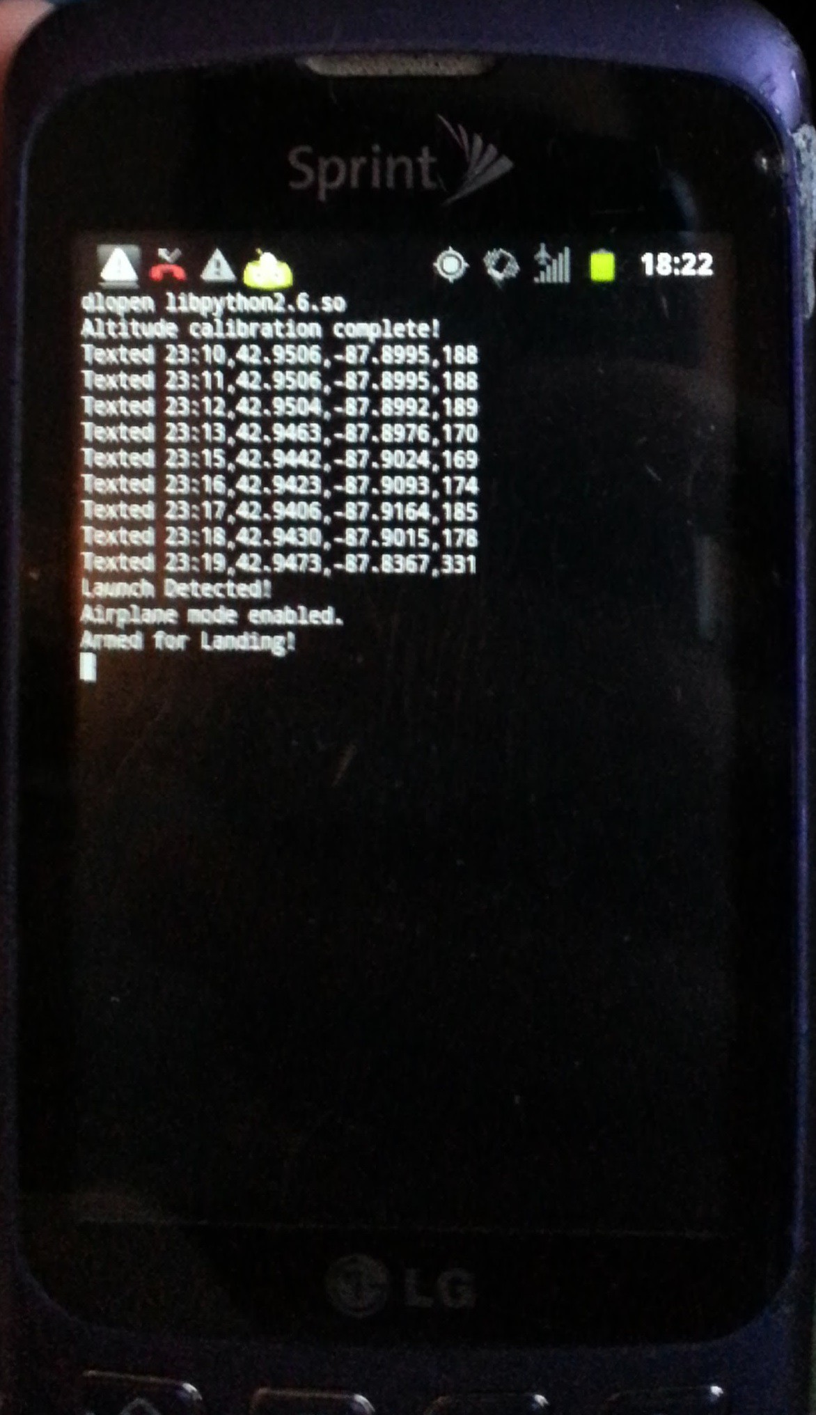
Many more lessons learned on this flight, but the big success was the second flight of the telemetry tracker, and the first flight with our enhanced mission code, which is just begging for a future blog post. This system is smart enough to detect launch and land, and has a number of fault codes that trigger various actions to attempt to provide locations in the event of an in-flight emergency. More on this one to come soon.


